 .......
May 18th, 2000 - Basse Terre, Guadeloupe
Guadeloupe consists of two big islands, Basse Terre and Grande Terre, and a number of smaller islands. Basse Terre is mountainous and covered with rain forest. Most of the interior is national forest. It is famous for waterfalls and some great hiking trails.
Earlier in the week we had done some exploring on the local buses, but today we decided to rent a car. At $35 a day, it's cheaper than the bus for 5 of us and allowed us to get a little more of the beaten track.
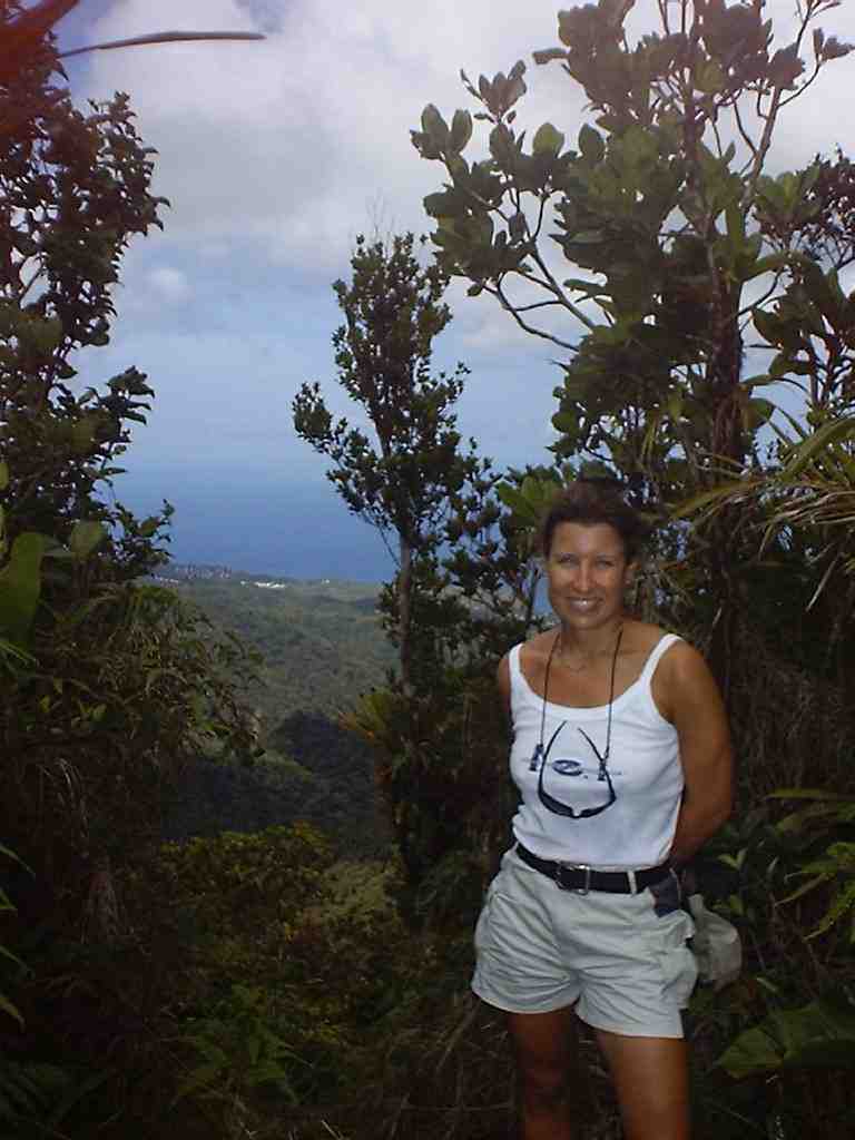
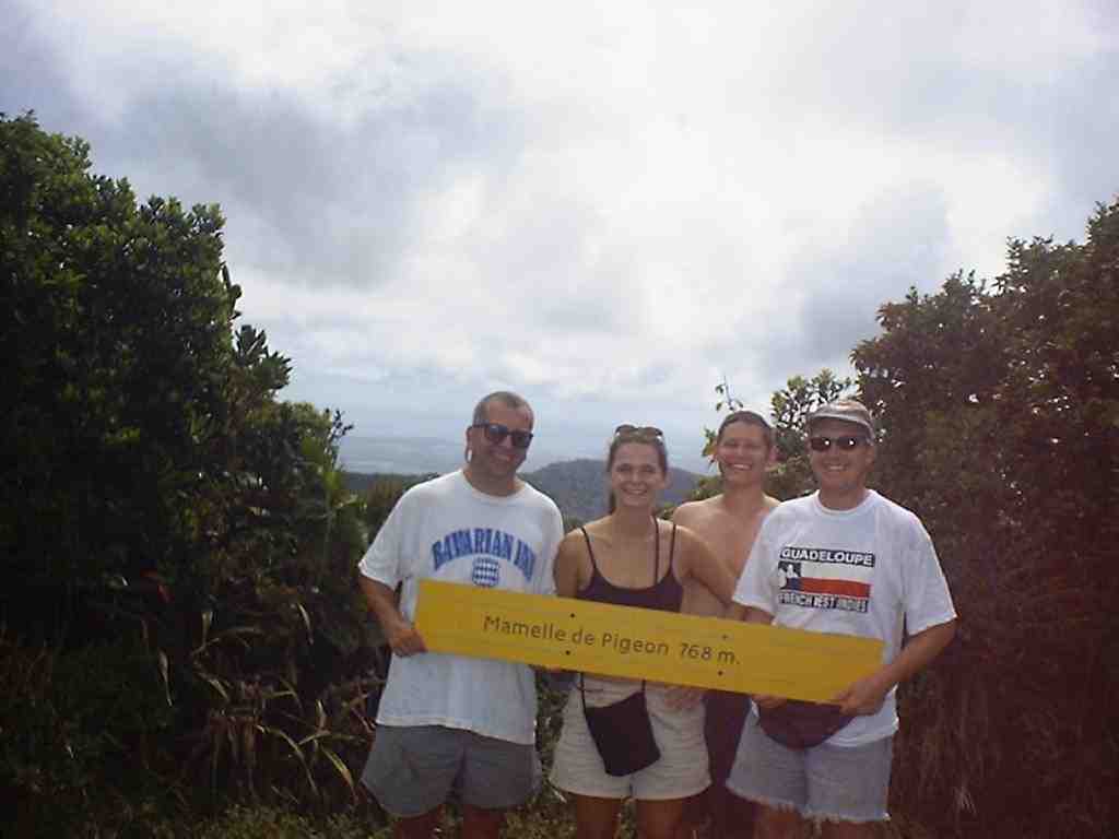
We started by leaving Deshaies and heading south along the west coast. It is very hilly with many small bays with fishing villages. After about 25 km we turned inland on the Route de la Traversee, the one road across the middle of the island. It is absolutely beautiful heading up into the mountains on a twisty road through incredibly lush rain forest. About half way across the island we stopped at a trail head. Time for a little hiking! The sign said that it was a 30 minute trail. I guess they got that right if that's one way because it was about a half hour later when we reached the top of Pigeon Mountain. The trail was a sometimes steep, sometimes muddy and on either side was deep, dense forest.

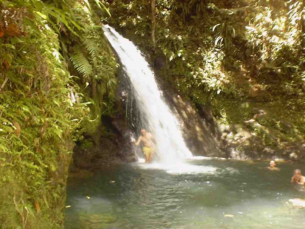
After our hike we were hot and sweaty. What better than a trip to a waterfall? Another couple kilometers down the road we stopped at Cascade aux Ecrevisses. After a short walk we arrived at this small waterfall. We changed into our swimming gear and slowly, cautiously slipped into the pool at it's base. Soon we were splashing, swimming, and diving in the falling water.
Feeling very refreshed, we headed out of the mountains and then down the east coast. We stopped for a little lunch and then turned back towards the mountains. This time we were heading for the Chutes du Carbet, a series of three waterfalls that are the tallest in the Caribbean. Once again the road twisted up, becoming so narrow that when two cars meet one has to pull part way off the road to let the other pass. We reached the parking area for the 1st and 2nd waterfalls and were full of anticipation. With all the fun we had at the little Cascade aux Ecrevisses, this was going to be really cool.
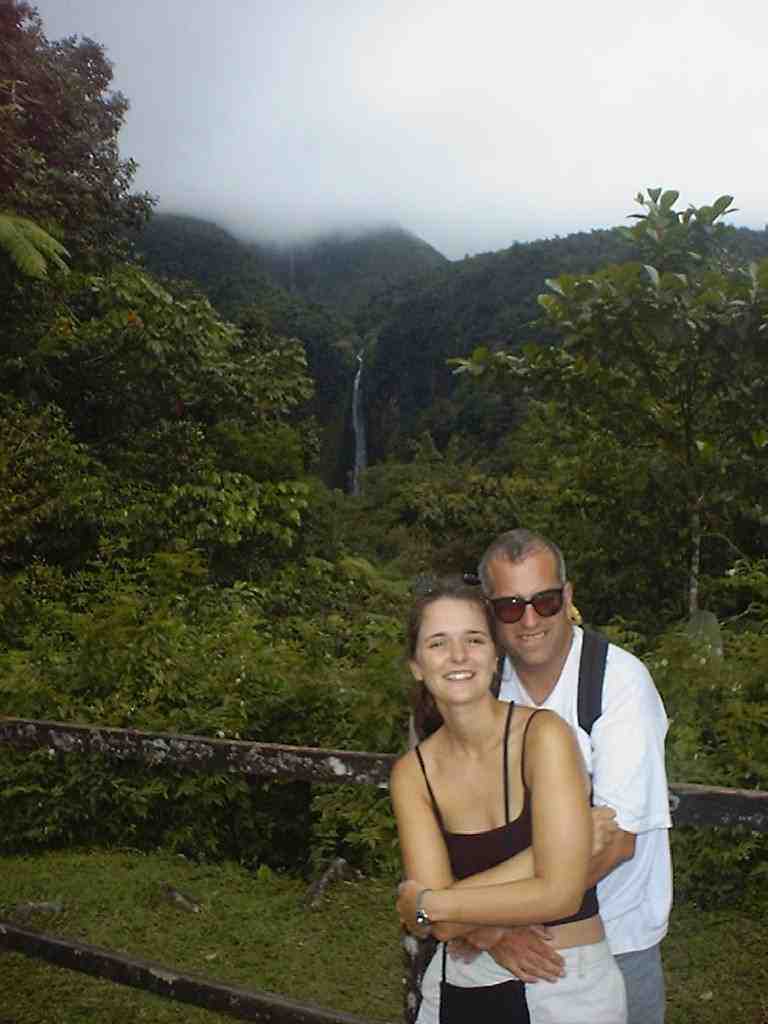
We could see the 2nd clearly and the 1st somewhat less clearly above it. Unfortunately there was a big sign at the trail head that said that getting to the first is a very serious hike (take rain gear, hiking boots, lots of water, don't start late in the day), and the trail to the 2nd, which would be much easier, was closed. We were bummed and about to head back down the mountain, but luckily Stacy used her French skills and initiative show us the light. She spotted someone who looked like some sort of tour guide. The lady explained that the bridge was out, but we could "go under the bridge just like they did before there was a bridge".
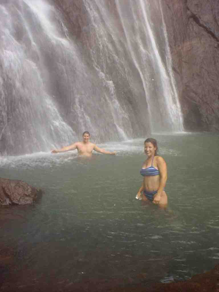
The hike took about 20 minutes and going under the bridge was no big deal. As we approached the falls we were overwhelmed with the size. The 2nd falls is 365 feet high.!
Once again we put on our swimming gear and slid into the pool. Now I have some idea of what a hurricane might feel like. The rush of wind and spray was really strong. And the view from the pool, looking straight up, was something that I can't describe.
At the end of the day we concluded that we are going to have to get back to Guadeloupe for a couple weeks of serious hiking, swimming in waterfalls, and possibly camping.